Torver
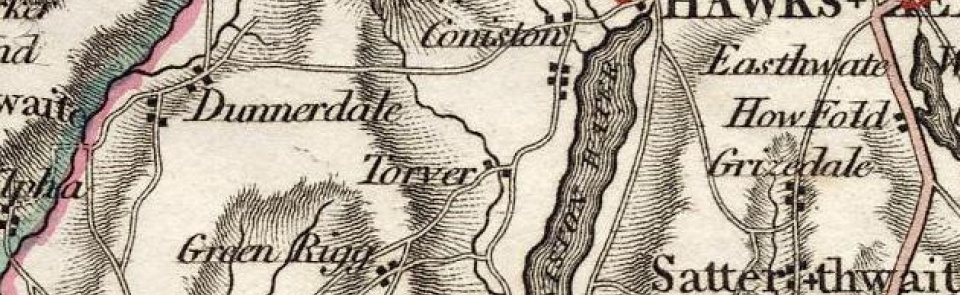
Chapelry and township in Ulverston parish, Lonsdale hundred, Lancashire North of the Sands.
Acreage:
3,815 acres [1,544 ha], including extensive unenclosed fells on Torver High Common and smaller areas of common land at Torver Back Common (287 acres [117 ha]) and Low Common (485 acres [196 ha]).
Population:
in range 190-210 across 19th century (peak of 263 in 1821); then falling from 207 in 1901 to 135 by 2001.
Landownership:
part of William de Lancaster’s moiety of Furness Fells and thus within lordship of Ulverston. Part had come into possession of Flemings of Aldingham by 13th century and Conishead Priory also had land in Torver. Descended with Harrington moiety of lordship of Ulverston, linked to their manor of Muchland (see Aldingham). Purchased with Ulverston 1736 by duke of Montagu, descending to dukes of Buccleuch.
Economy:
hill farming; coppice woodland with charcoal burning, medieval period to 20th century; bloomery sites (probably medieval). Sunny Bank Mill: bobbin mill in mid-19th century; later making pick and hammer shafts; closed c.1934. Slate quarrying from 18th century; major quarries at Ash Gill and Eddy Scale in 19th century; closed early 20th century.
Places of worship:
chapel of ease consecrated 1538; rebuilt 1849 and again 1884, when it was dedicated to St Luke. Baptist chapel at Sunny Bank established 1678; merged with Hawkshead Hill congregation by early 20th century; finally closed 1940s.
Schools and other institutions:
school taught in chapel until c.1777, when John Fleming of Coniston endowed and built grammar school; rebuilt 1873; closed 1927. Old School Room used as village hall since 1970.

