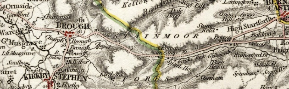
Stainmore
Chapelry and township in Brough parish, East ward, Westmorland.
Acreage: 16,329 acres [6,608 ha], including extensive moorland commons. Capel Rigg Intake (37 acres [15 ha]) enclosed 1857; Stainmore Common East (4,075 acres [1,649 ha]) enclosed 1890. Regulated pastures of East Stainmore South Moor (2,577 acres [1,043 ha]) and North Moor (3,726 acres [1,508 ha]) remain registered common land.
Population: rising from 530 in 1801 to peak of 707 in 1831; then downward drift (501 by 1901) to low point of 218 in 1971; rising again late 20th century to stand at 253 in 2001.
Landownership: Stainmore was hunting forest of barony of Westmorland and descended with barony (see Appleby).
Economy: pastoral farming (11 vaccaries recorded 1392). Quarrying, both flagstones (recorded in name Slate Quarry Moss) and limestone with lime-burning in 19th century. Lead mining (with smelt mills at Augill Bridge and Smeltmill Beck) and coal mining in 18th and 19th centuries. Cabbish lead mine reopened for barytes mining 1905-30. Grouse shooting on moorland 19th-21st centuries.
Places of worship: chapel of ease, now St Stephen’s church, South Stainmore, endowed as school by Christopher Buckle 1594; consecrated as chapel 1608; repaired 1699; rebuilt 1842-3. St Mary’s church, North Stainmore, built 1861; made redundant 1972 and converted to dwelling. Primitive Methodist chapel at Mouthlock, South Stainmore, built 1831; rebuilt nearby 1909; converted into residential centre 1980s. Primitive Methodist chapel, North Stainmore, built 1868; closed 2010.
Schools and other institutions: school at South Stainmore founded 1594; schoolhouse built adjacent to chapel 1699; closed c.1970; subsequently used as outdoor pursuits centre. School near North Stainmore church opened 1880; closed c.1958; now North Stainmore Village Hall. South Stainmore Parish Institute opened 1932.

