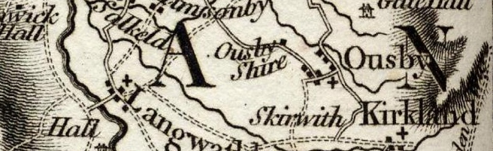
Ousby
Ancient parish in Leath ward, Cumberland. CP enlarged by absorbing Melmerby CP 1934.
Acreage:
7,472 acres [3,042 ha], including extensive commons on Pennine edge. Ousby In Fell, Low Moor, Star Howes, Fell Green, The Mires, Castle Slack and School Green (totalling 1,670 acres [675 ha]) enclosed 1863; Ousby Fell (3,581 acres [1,449 ha]) remains unenclosed common land.
Population:
estimated at 365 in 1688. Rising from 253 in 1801 to 329 in 1871, followed by decline to 225 by 1931 (last census year before boundary change).
Landownership:
said to be named from its Danish owner, Ulf son of Haldane. Complex descent through medieval period: manor had apparently been divided into eighths by 1289. Ownership remained divided but manorial rights had been obtained by Crackanthorpes of Newbiggin by 17th century.
Economy:
farming; lead and coal mining by late 17th century; had largely ceased by mid-19th century. Crushing mill at Smittergill Head c.1851 to 1873.
Places of worship:
medieval parish church of St Luke; rebuilt late 16th century and again 1858, further restoration 1896. Wesleyan Methodist chapel of 1838, replaced by larger building 1872; had closed by 1985.
Schools and other institutions:
school taught in church by 1703. National school built 1856; closed c.1966; converted for use as community centre.

