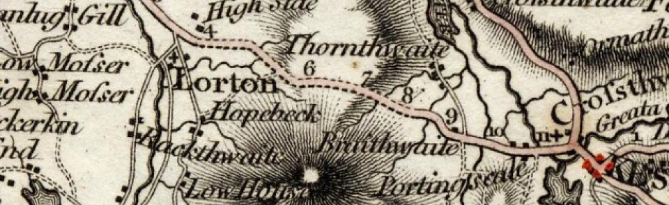
Lorton
Township in Brigham parish, Allerdale above Derwent ward, Cumberland.
Acreage:
5,318 acres [2,152 ha], excluding 170 acres [69 ha] at Swinside, a detached portion of Buttermere transferred to Lorton 1887. Commons (3,867 acres [1,566 ha]) enclosed 1835.
Population:
rising from 298 in 1801 to peak of 456 in 1861; thereafter declining to 233 in 1971; stood at 250 in 2001.
Landownership:
part of forest of Derwentfells in honour of Cockermouth. Manor of High Lorton granted to Carlisle Priory before 1158; transferred to Dean and Chapter of Carlisle after Dissolution. Low Lorton held by Thomas Mariscal by 1230; divided into thirds by 1305, one of which was held by Winder family from before 1397 to 1699, becoming Lorton Hall estate, which was acquired by Joshua Lucock (Bragg) 1800 and greatly developed; sold to Dixons of Rheda 1881, who substantially rebuilt Lorton Hall 1889-90; estate sold 1947.
Economy:
predominantly agricultural until 19th century: vale of Lorton noted for its fertility in 17th century. Woollen textile industry from medieval period: fulling mill at Tenters built c.1480. Brewery established at High Lorton in 1820s by Jennings family (moved to Cockermouth 1887). Flax thread spinning on former fulling mill site at Tenters from 1830s to early 20th century. Forestry and tourism from mid-20th century.
Places of worship:
medieval chapel of ease (chaplain recorded 1198) dedicated to St Cuthbert, had become parochial by 16th century; rebuilt 1807-9. Wesleyan Methodist chapel, High Lorton, built 1840; closed and sold late 20th century.
Schools and other institutions:
curate serving as schoolmaster recorded 1598; school taught in chapel in early 18th century; endowed c.1710. School built in High Lorton 1809; enlarged 1859 and 1895; now Lorton Primary School. Former malthouse attached to brewery in High Lorton became village hall (‘Yew Tree Hall’) 1909.
Bibliography - Lorton
Birch, Sally, 'A visit to High Mill, Lorton', L& DFLHS Journal 44 (July 2009),
Denman, Derek, 'Lucock-Bragg of Lorton Hall to the Wordsworths’ rescue, Dec. 1805', L&DFLHS Journal 36 (August 2005),
Denman, Derek, 'The meaning of ‘boon’', L&DFLHS Journal 37 (February 2006),
Denman, Derek, 'Peiles, Bowes, Jennings and mills: a history of the Tenters fulling and thread mills in Lorton, 1479-1912', L&DFLHS Journal 38 (August 2006),
Denman, Derek, 'Before and after the Lorton Turnpike', L&DFLHS Journal 42 (August 2008),
Denman, Derek, 'Lorton Park in the Nineteenth Century', L&DFLHS Journal 45 (February 2010),
Godwin, Jeremy, 'High Mill, Lorton (from its Deeds of 1728-1940)', CW2 lxxxviii (1988), 248f
Sewell, F.R., 'An account of an Oaken Trough or Chest found on Lorton Moss.
A letter from John Wilson to the author', CW1 iv (1878),
Winder, F.A., 'Winders of Lorton', CW1 xii (1892), 439-457; CW1 xiv (1896), 198-207; CW1 xv (1898),
Winstanley, Dr Michael, 'Darling Howe, Lorton Field Book: IR58/19199 (6)', L&DFLHS Journal 40 (August 2007),
Other References in CWAAS: Lorton, Church CW1 ii 1875 16f Lorton CW1 ii 1875 18, 20, 357 Dagger, Lorton CW1 iv 1878 345 Lorton, iron working nr. CW1 v 1881 6 Lorton CW1 vii 1884 130 Lorton, Church CW1 vii 1884 147 Lorton CW1 xi 1890 114 Lorton, Tythes at CW1 xii 1892 443-446 Lorton, Church CW1 xii 1892 444 Gillbank, Lorton CW1 xii 1892 445 Lorton, Parish Register CW1 xiii 1894 411-443 Lorton, Church CW1 xiv 1896 201 Lorton, School CW1 xiv 1896 207 Lorton, Bridge (High and Low) CW1 xv 1898 119 Lorton, Chapel, St Cuthbert’s CW1 xv 1898 23 Lorton, Slatwharall farm CW1 xv 1898 234 Lorton CW2 xlvii 1947 186, 196, 198 Lorton, High CW2 l 1950 186 Lorton CW2 lii 1952 107, 126 Lorton CW2 lvi 1956 49 Lorton (C) CW2 lviii 1958 174 Lorton, Vale of (C) CW2 lix 1959 90 Lorton CW2 Ix 1960 25 Lorton CW2 lxi 1961 291 Lorton, incumbent of CW2 lxv 1965 379 Lorton, Oak Hill CW2 lxv 1965 380 Lorton CW2 lxxiv 1974 52 Lorton, New House Farm CW2 lxxv 1975 341 Lorton, church CW2 lxxvi 1976 207 Lorton CW2 lxxviii 1978 66, 69 Lorton, chapelry CW2 lxxviii 1978 68 Lorton, manor of CW2 lxxxiii 1983 178 Lorton CW2 lxxxiv 1984 73, 111, 121

