Irton
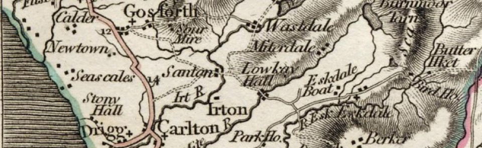
Ancient parish in Allerdale above Derwent ward, Cumberland, containing townships of Irton and Santon with Melthwaite.
Acreage:
parish contained 6,066 acres [2,455 ha]; the CP (known as Irton, Santon and Melthwaite) was slightly larger than parish (it included Easthwaite in St Bees parish) and contained 6,180 acres [2,501 ha]. Common land extending to 1,877 acres [760 ha] on Irton Fell, Huerigg Moor, Cragg Moor and Irton Moor enclosed 1813.
Population:
estimated at 515 in 1688; rising from 490 in 1811 to peak of 614 in 1881 before falling back to early 19th-century levels. Rose to second peak of 677 in 1951, before dropping back to 373 by 2001.
Landownership:
: manor of Irton held by Irton family from 13th century until death of Samuel Irton 1866; passed to Burns-Lindow family and was sold to Thomas Brocklebank 1896. Manor of Santon held by de Copeland family in 13th and 14th centuries; had passed to Winder and Irton families by 1777; by 1842 was in hands of Skeffington Lutwidge of Holmrook Hall and remained in Lutwidge family in 1901.
Economy:
predominantly agricultural; seed and plant nurseries at Hall Santon recorded 1842-1901.
Places of worship:
medieval parish church of St Paul, rebuilt 1856-7; extended 1872; 9th-century cross in churchyard suggests pre-Viking origin. Wesleyan Methodist chapel at Hall Santon built 1828; closed; converted to holiday accommodation.
Schools and other institutions:
National school on Irton Moor endowed by Henry Caddy 1716; built 1717; rebuilt c.1856; closed c.1972; converted to guest house. Two other schools, supported by ‘quarterage’, recorded 1818. Village hall at Santon Bridge; building dated 1864.

