Gilcrux
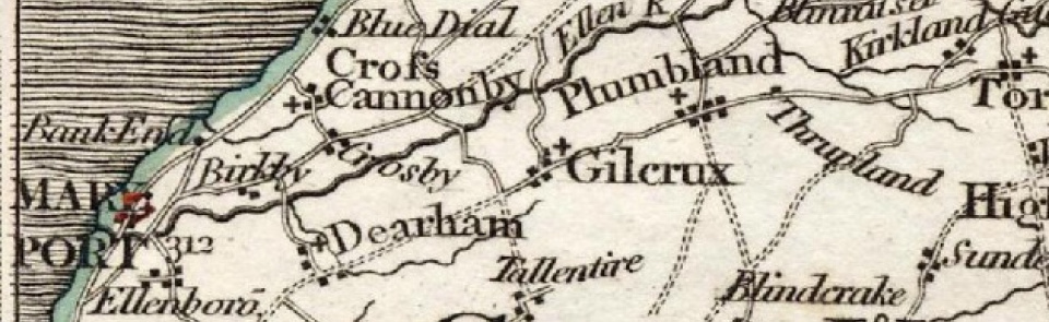
Ancient parish in Allerdale below Derwent ward, Cumberland.
Acreage:
2,018 acres [817 ha]. Gilcrux Infield (open field) strips consolidated 1648; enclosure completed before 1749. Gilcrux Outfield (c.460 acres [186 ha]) enclosed 1754. Gilcrux Common and Green (c.110 acres [44 ha]) enclosed 1814. Grange Grassings (95 acres [38 ha]) enclosed 1816.
Population:
stimated at 220 in 1688; rising from 249 in 1801 to 653 in 1861, as result of expansion of coal mining; then falling to 413 by 1901 and to 303 in 2001.
Landownership:
manor of Gilcrux granted to Calder Abbey by Bonekil (or Buncle) family in mid-13th century. By 1632 had passed to Thomas Dykes of Wardhall in which family it remained until 20th century.
Economy:
farming; coal mining recorded by 17th century (‘Gilcrouse Pit’ working before 1636). Expansion in 19th century: Jane Pit (sunk 1815, closed 1863); Eliza Pit (opened 1854; closed before 1882) and Ellen Pit or Bullgill Colliery (sunk 1859; closed 1910). Small drift mine worked 1937/8 and barytes drift mine operated in Rose Gill 1920s. Some small-scale quarrying, later 19th century.
Places of worship:
medieval parish church of St Mary. Wesleyan Methodist chapel built 1875; closed 1985.
Schools and other institutions:
schoolmaster mentioned c.1663. Parish school built 1771; replaced by new school on different site 1864; closed 1971; building then used as village hall (refurbished 2012). Mission room (attached to vicarage) built 1892; demolished 1989. Reading room (privately owned); demolished c.1940.

