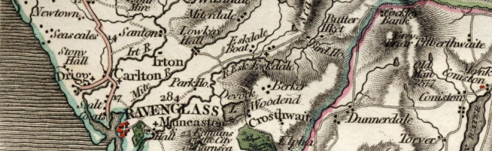
Drigg
Ancient parish in Allerdale above Derwent ward, Cumberland. Part of Drigg CP was transferred to Seascale CP 1901.
Acreage:
3,982 acres [1,611 ha]; parish was coterminous with township of Drigg and Carleton (Drigg lying north of River Irt and Carleton to south). Common moorland (1,500 acres [607 ha]) enclosed 1828.
Population:
estimated at 560 in 1688; in range 350-450 for much of 19th and 20th centuries. Rose to peak of 579 in 1891 (last census year before loss of territory to Seascale CP). Population of modern CP peaked at 563 in 1961.
Landownership:
manor of Drigg held successively by Stutevill and Wake families, lords of Liddel barony, in 12th and 13th centuries. It had been divided between heiresses by 1282; part came to Curwens of Workington, who sold manor to Sir William Pennington of Muncaster c.1597, in whose family it remained until 20th century.
Economy:
farming; fisheries and mussel beds (from which pearls were obtained in 17th century) in Irt and Mite estuaries (place-name ‘Fishgarth’ near Carleton Hall); salt-boiling suggested by name Saltcoats. Brick- and tile-making mid-19th century. Royal Ordnance Factory, producing TNT, established on coastal dunes 1940; site used as storage depot for radioactive waste since 1959.
Places of worship:
medieval parish church of St Peter; rebuilt on same site 1850.
Schools and other institutions:
school at Carleton endowed 1727; endowment lost and premises sold before 1901. Another school, supported by ‘quarterage’, recorded 1818. Endowed grammar school at Drigg founded 1828; rebuilt 1878; closed and converted to dwelling.

