Castle Carrock
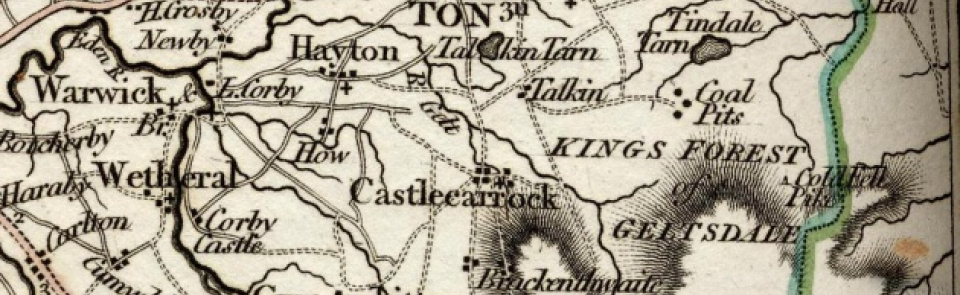
Ancient parish in Eskdale ward, Cumberland. CP enlarged by absorbing Geltsdale 2003.
Acreage:
3,031 acres [1,227 ha], formerly divided into two quarters, Town and Outside Quarters; included 1,900 acres [769 ha] of common land on Castle Carrock Moor and Fell, enclosed 1805.
Population:
estimated at 360 in 1688. Rising from 252 in 1801 to peak of 383 in 1831, then declining to 271 in 1901. Secondary peak of 346 in 1921; then declining to stand at around 290 for much of later 20th century; 303 in 2001.
Landownership:
granted to Eustace de Vallibus in 12th century, whose descendants took surname Castle Carrock. Divided between heiresses; part subsequently came to Musgrave family, who by 1688 had sold part to earl of Carlisle and part to Dacre family.
Economy:
largely agricultural; lime-burning in 19th century. Reservoir supplying water to Carlisle opened 1909.
Places of worship:
medieval parish church of St Peter; rebuilt 1826-28; ‘Normanised’ 1888-9. Independent (Congregationalist) chapel built 1853; closed and converted to dwelling. Primitive Methodist chapel built 1899; had closed by 1965.
Schools and other institutions:
parish school in village, recorded 1818, built with profits from land granted at enclosure of commons. Rebuilt on new site 1874; now Castle Carrock Primary School. Watson Institute (now Watson Hall), a tower-like structure containing a public hall, library and reading room, built 1897 and given to village by James Proctor Watson.

